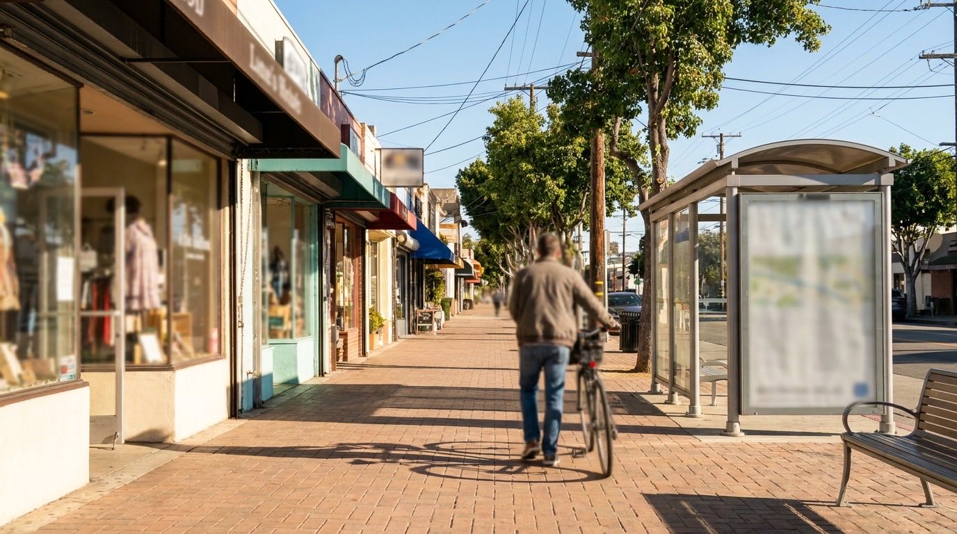
Los Feliz isn’t one uniform neighborhood when it comes to getting around on foot. The flatter village area functions almost like a small town center, while the hillside streets further out settle into a more typical car-dependent LA pattern. Knowing which part of the neighborhood you’re looking at changes the answer considerably.
The Village Center Does the Heavy Lifting
Hillhurst Avenue and Vermont Avenue, converging near Los Feliz Boulevard, form the walkable core of the neighborhood. Independent bookstores, longtime diners, coffee shops, and a mix of local boutiques line these two streets, and residents within a few blocks can realistically run errands, grab a meal, or meet a friend without getting in the car. It’s one of the more genuinely pedestrian-friendly commercial strips on the Eastside, closer in feel to a small town main street than a typical LA boulevard.
Walkability Narrows as You Move Into the Hills
Once you move north or east of the village into the hillside streets, the picture changes. Sidewalks get narrower or disappear, streets wind and climb, and the daily errands that were a walk near Hillhurst become a short drive instead. This isn’t unusual for hillside LA neighborhoods, but it’s worth being clear-eyed about it rather than assuming the whole neighborhood shares the village’s walkability just because it’s the same zip code.
Metro Access Sits at the Neighborhood’s Edge
The Vermont/Sunset Metro B Line station is a real asset for southern Los Feliz, putting Hollywood, Downtown, and the rest of the subway system within a short walk for residents nearby. It’s a genuine commuting and social option for that part of the neighborhood. Further north, the station stops being a realistic walk, so it’s worth checking the actual distance from a specific listing rather than assuming subway access based on the neighborhood’s general reputation.
Griffith Park Access Varies by Street
Griffith Park borders Los Feliz on its northern and eastern edge, and several entrances, including Fern Dell and the trailheads near Vermont Canyon, are a genuine walk or quick bike ride for residents on the closer streets. That access is one of the neighborhood’s biggest draws, giving people a way to get outside and move without driving anywhere first. From streets further from the park’s western boundary, it’s more commonly a short drive to a trailhead than a walk, which is worth factoring in if daily park access matters to your search.
Bus Routes Cover What the Subway Doesn’t
Metro bus lines run along Vermont, Hillhurst, and Los Feliz Boulevard, connecting the neighborhood to Hollywood, Silver Lake, and beyond for residents who don’t drive or want an alternative to the car for shorter trips. These routes don’t replace a car entirely for most people, but they genuinely get used for specific trips, especially by residents closer to the village center who are already used to leaving the car parked.
Elevation Changes the Walkability Math
Distance on a map doesn’t tell the whole story in a hillside neighborhood like Los Feliz. A block that measures a quarter mile from the village on paper can involve a genuine climb, and that changes how often a resident actually makes the walk versus defaulting to a car. It’s worth walking a specific route yourself, ideally at a normal pace and time of day, rather than trusting a map’s straight-line distance to predict how the walk will actually feel.
What to Check Before Assuming a Listing Is Walkable
Walkability in Los Feliz depends heavily on exactly which block you’re looking at, more so than in flatter, more uniform neighborhoods. Before assuming a specific address is walkable to the village or to a park entrance, check the actual route and elevation change, not just the straight-line distance on a map. A block that looks close to Hillhurst on paper can involve a real climb in practice, and that’s worth knowing before it becomes part of your daily routine.
If walkability and park access are priorities in your search, reach out to Efrat and she can help you evaluate specific Los Feliz listings against what actually matters to your day-to-day life.
