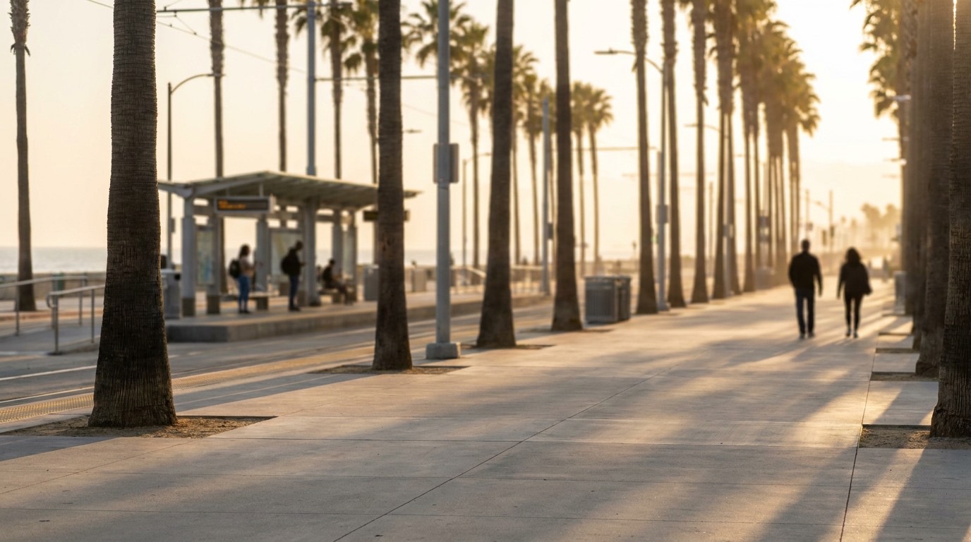
Santa Monica has one of the more genuine walkable, transit-connected reputations in Los Angeles, and it mostly holds up, though it varies more by specific block than people expect before they’ve actually lived here.
Downtown Santa Monica Is Genuinely Walkable
The blocks around the Third Street Promenade, Santa Monica Place, and Ocean Avenue are dense, pedestrian-friendly, and close enough together that a lot of daily errands, a coffee run, groceries, dinner, don’t require a car at all. This is the part of Santa Monica that shows up in most “walkable LA” conversations, and it earns that reputation. Living within a few blocks of this core means genuinely different daily habits than living in most of the city.
It Gets More Car-Dependent Away From the Core
Move north toward San Vicente or east past Lincoln Boulevard, and Santa Monica starts to feel more like a typical Westside residential neighborhood, still pleasant to walk in, but with fewer errands realistically doable on foot. This isn’t a knock on those areas, plenty of buyers prefer the quieter, more residential feel, but it’s worth being clear-eyed about the difference before assuming “Santa Monica” automatically means car-free living everywhere within it.
The Big Blue Bus Covers Local Ground Well
Santa Monica’s own bus system, the Big Blue Bus, handles local trips within the city and connections into neighboring areas like Venice and West LA. It’s a solid option for shorter hops, getting to the beach, the Promenade, or a nearby neighborhood, without needing a car, though it’s not built for speed on longer cross-town trips.
Metro’s E Line Adds Real Rail Access
Four Metro E Line (formerly Expo Line) stations sit within Santa Monica, which is a genuinely unusual amount of rail access for a coastal neighborhood this size. For residents who live near one of these stations and work somewhere along the line, particularly toward Downtown, the E Line can replace a driving commute several days a week. It’s worth checking the actual walking distance from a specific listing to the nearest station, since a ten-minute walk and a twenty-five-minute walk make a real difference in whether you’ll use it regularly.
The Bike Path and Everyday Cycling
The Marvin Braude bike path runs along the beach through Santa Monica, flat, mostly separated from car traffic, and genuinely useful for both recreation and short local trips up and down the coast. Combined with the city’s bike lanes further inland, cycling is a realistic option for a lot of local errands, especially for anyone living within a mile or two of downtown.
Bike Share and Micromobility Options
Santa Monica has supported city bike share and scooter programs at various points, which add another layer of car-free options for short trips around downtown and along the coast. Availability and specific programs shift over time, so it’s worth checking what’s currently active rather than assuming a program you’ve read about elsewhere is still running exactly the same way.
Comparing Walk Scores Across LA’s Coastal Neighborhoods
Santa Monica generally ranks among the more walkable neighborhoods in Los Angeles, alongside places like Venice and parts of Downtown, though the comparison depends heavily on which specific blocks you’re measuring. Downtown Santa Monica competes with the most walkable pockets in the city, while its quieter residential areas fall closer to typical Westside norms. It’s worth pulling up a walk score for a specific address rather than relying on the neighborhood’s overall reputation.
Why This Matters When You’re Comparing Listings
Walkability and transit access can shift meaningfully block to block in Santa Monica, more than in a lot of LA neighborhoods, so it’s worth thinking about specific proximity rather than the neighborhood’s general reputation when you’re comparing homes. A listing three blocks from the Promenade and one a mile north near San Vicente can offer genuinely different daily routines, even though both are technically Santa Monica.
If walkability and transit access are a priority in your search, reach out to Efrat and she can help you think through which parts of Santa Monica actually match what you’re looking for day to day.
