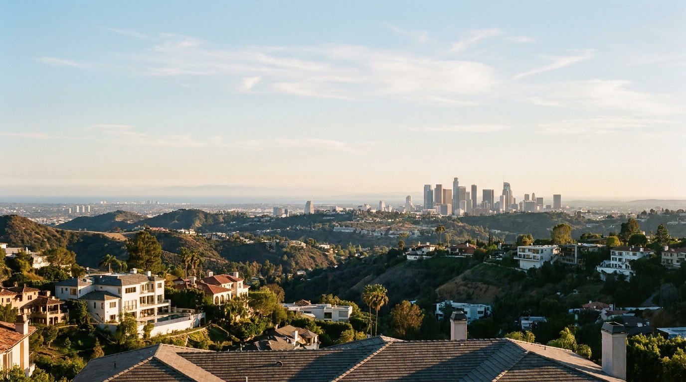
Distance questions come up early for anyone considering Hollywood Hills, since its hillside position changes what “close” actually means compared to a flatland neighborhood.
The Beach Is a Real Drive, Not a Quick Trip
Hollywood Hills sits well inland relative to the Westside beach cities, and getting to the coast means a genuine drive of several miles through city streets before you reach a freeway, or in some cases a longer surface-street route depending on the exact starting point. Traffic during peak hours can extend that trip considerably, so anyone who wants regular beach access should test the drive at the times they’d actually be making it, not just check a map’s estimated time. This is a meaningfully different equation than living in a Westside neighborhood, where the beach is a routine short trip rather than a planned outing.
Downtown LA Is Comparatively Closer
Downtown LA tends to be a shorter trip from Hollywood Hills than the beach, largely because of more direct freeway access on that side of the city. Even so, rush hour on the connecting routes can add meaningful time, so the “close” answer depends heavily on when you’re traveling. Someone commuting downtown for an early start should expect a noticeably different drive than someone making the same trip closer to midday, and that gap is worth understanding before you assume a map app’s average travel time reflects your actual routine.
Hillside Streets Add Time Before You Even Hit a Main Road
One thing flat distance measurements miss is that winding, narrow hillside streets often take longer to navigate than their straight-line length suggests. Getting from a specific hillside address down to a main arterial road can add several minutes before your commute even officially starts, which is worth factoring into any estimate based purely on mileage. Two addresses that look equally close to a freeway on-ramp on a map can have very different real drive times depending on how many turns and elevation changes separate them from that main road.
Why Standard Commute Estimates Fall Short Here
Most map apps calculate distance and time based on standard road conditions and don’t always account well for the specific character of hillside streets, narrow lanes, blind curves, and lower posted speed limits that are common throughout Hollywood Hills. That means the estimate you see for a specific address might understate the real time it takes to get in and out of the neighborhood, particularly during the school and work commute windows when hillside roads see the most local traffic.
How to Actually Test This Before You Buy
The most reliable way to understand commute reality from a specific Hollywood Hills address is to drive it yourself, at the hour you’d actually be making the trip, rather than relying on a map app’s average estimate. This matters more here than in flatter parts of the city because hillside routing can behave in ways that aren’t obvious until you’re actually on the road. For more on how hillside terrain shapes daily life, our guide to buying a hillside home in Hollywood covers related access considerations worth checking alongside distance.
Weighing Distance Against What You Get in Return
For many buyers, the tradeoff of a longer beach trip or a variable downtown commute is worth it for the views, privacy, and hillside character that Hollywood Hills offers, something we cover in more depth in our look at why people love living in Hollywood Hills. It’s a genuine tradeoff, not a downside to ignore, and it’s worth being honest with yourself about how much daily driving you’re willing to accept in exchange for what the hills offer.
If commute time to the beach or Downtown LA is a real factor in your search, get in touch and Efrat can help you compare specific Hollywood Hills addresses against your actual routine.
