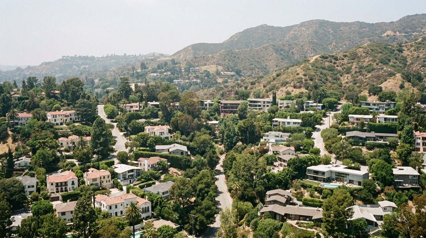
Los Feliz isn’t one uniform stretch of streets, it’s a handful of distinct pockets that share a name but genuinely feel different from each other. If you’re trying to figure out where exactly Los Feliz starts and ends, and which sub-area might fit you, here’s a breakdown.
The General Boundary Lines
Los Feliz sits east of Hollywood, north of Silver Lake, and borders Griffith Park along its northern and eastern edge, with Atwater Village across the Los Angeles River. Those general lines hold up across most maps, though exact boundary definitions can shift slightly depending on the source, a real estate listing, the city’s own planning designation, or a neighborhood association’s own map. If a precise boundary matters for a specific purchase, confirm it against the actual address rather than relying on a general map.
The Village Core
The area around Vermont Avenue and Hillhurst Avenue is what most people mean when they picture Los Feliz day to day, a walkable commercial strip with coffee shops, restaurants, and a well-known local bookstore. It’s flatter than the neighborhood’s hillside pockets and generally the most pedestrian-friendly part of Los Feliz. Our Los Feliz living guide covers what daily life actually looks like in and around this core.
The Hillside Pockets Near Griffith Park
Closer to Griffith Park, the terrain climbs into hillside streets with the winding roads and view-oriented lots typical of LA’s hillside neighborhoods. These pockets are quieter and less walkable than the village core, and they come with the usual hillside considerations, narrower streets, a higher likelihood of geological or soils reports, and generally higher insurance costs in fire-risk zones.
Franklin Hills, Adjacent But Distinct
Franklin Hills sits just south and east of the core Los Feliz area and is generally treated as its own micro-neighborhood, though the two are close enough that people sometimes group them together informally. It has a hillside character of its own, distinct architecture, and its own sense of identity separate from the Los Feliz village. If you come across a listing described as Franklin Hills, it’s worth confirming which designation applies rather than assuming it’s interchangeable with Los Feliz proper.
The Riverside Edge Toward Atwater Village
On the eastern edge, Los Feliz runs toward the Los Angeles River and Atwater Village. This part of the neighborhood tends to be flatter and has its own more industrial-adjacent character compared to the village core or the hillside pockets, reflecting its proximity to the river and the transition into Atwater Village itself.
Why the Sub-Area Distinction Actually Matters
Two addresses both labeled Los Feliz can differ substantially in walkability, terrain, and day-to-day feel depending on which sub-area they fall in. A hillside property near Griffith Park has a genuinely different lifestyle profile, less walkable, more car-dependent, potentially more insurance and inspection diligence, than a flat, walkable street two blocks from Vermont Avenue. Neither is better across the board, but they’re different enough that “Los Feliz” alone doesn’t tell you what you’re actually getting.
Boundary Lines Can Affect School and Tax Assignments
Informal neighborhood boundaries and official jurisdictional boundaries don’t always line up, and that gap matters for two things in particular: school assignment and property tax rates. LAUSD attendance boundaries follow their own lines, which can put two homes that both call themselves Los Feliz into different school zones, regardless of what a general neighborhood map shows. Property tax rates can also vary slightly depending on which specific tax rate area and any applicable assessment district a parcel falls into. Neither of these follows the informal Los Feliz boundary automatically, so it’s worth checking both directly for any address you’re seriously considering, rather than assuming the neighborhood label settles it.
Confirming Boundaries for a Specific Property
If you’re evaluating a specific listing, the most reliable approach is to check the exact address against current city and county boundary data rather than relying on informal neighborhood maps, which can vary from one source to the next. That’s especially true near the edges, close to Silver Lake, Franklin Hills, or the river, where informal boundary lines are the least consistent.
Figuring Out Which Sub-Area Fits You
If you’re not sure which part of Los Feliz actually matches what you want, walking the village core, driving a hillside street, and checking a Franklin Hills-adjacent block separately will tell you more than any map. Efrat serves buyers and sellers across Los Angeles, including every corner of Los Feliz, and can help you sort through which specific sub-area is the right fit. Reach out to talk it through.
